Motorcycles • Roads • AdventureFull Tank. Open Roads.

Full Tank, Open Roads

The road is the destination

Life is an adventure.
Who's coming with me?

Motorcycles, open highways and the stories that happen between the starting point and wherever the road ends.

Explore the rides

Latest Rides

Stories from the road

Ride Directory

Organized by label

Use Blogger Labels to organize each story. A post can have multiple labels, so one ride can appear in more than one directory.

2017-12-01T07:20:00-08:00

Fraser River Canyon

0 comments
Fraser River Canyon


                  I left Pickardville at 6:35 am to a golden sunrise. It was a humid 8 degrees celsius ride down highway 44 to the Yellowhead highway 16. As I rode west I couldn't help but notice the expressionless faces on the morning rush hour drivers that were heading in to the city.   I must have really got on their nerves smiling to my open highway ahead. 
         108km in I met up with my good friend at Wabamun lake. Continuing west another 50km brought forth our first down pour of rain. The rain felt exhilarating as it bounced off my face but i knew we could not sustain status quo if it would continue. We finally called it at Wildwood, Alberta  and pulled over to put the rain gear on. 
         With the weather reports calling for steady rain through to the other side of Jasper national park we were pleasantly surprised to be greeted by the occasional dry patch.  We had breakfast in Hinton before entering the Rockies and Jasper National Park. September riding is one of my favourite times of year. The crisp air added with the vibrant colours of the leaves changing made me grin as if to say welcome to British Columbia.
          

            On the other side of Jasper national park we said goodbye to the Yellowhead and connected to highway 5 heading south towards Kamloops. Each down pour of rain brought forth a new smell. Pine trees, sawmills and the fresh harvests of hay come to mind. Upon arriving in Kamloops we did a quick ride around some of my favorite spots. Many memories came back to me from the 5 years spent in the university days living here. 845 km ride today. 


      Today's theme was curves and tunnels.  We left the hotel in Kamloops at 7:20 am to welcoming blue skies. First order of business was to wash the bikes which were quite dirty from the rain and road grime yesterday. We said our goodbyes to Kamloops as we headed out of town on the old highway to Princeton the 5A. We were greeted by rolling grass hills, a bounty 5 of long sweeping curves followed by tight twisties that instantly lifted our spirits.    Roads like this is why I have a policy of having a coffee before setting out on the bike. 
           We followed the highway through Nicola Valley which commanded our attention as the highway dove then rised over the vast terrain. Upon arriving in Merrit the highway coexisted with highway 97c briefly as we climbed east towards Kelowna before taking our rightful place on the two lane roller coaster of 5A to the the south heading for Princeton.


        After breakfast in Princeton we connected with highway 3 the Crows Nest Pass heading west towards Hope. Taking in some incredible views of some spectacular mountain ranges, we continued our assault on the hair pin turns the Crows Nest Pass could throw at us. 
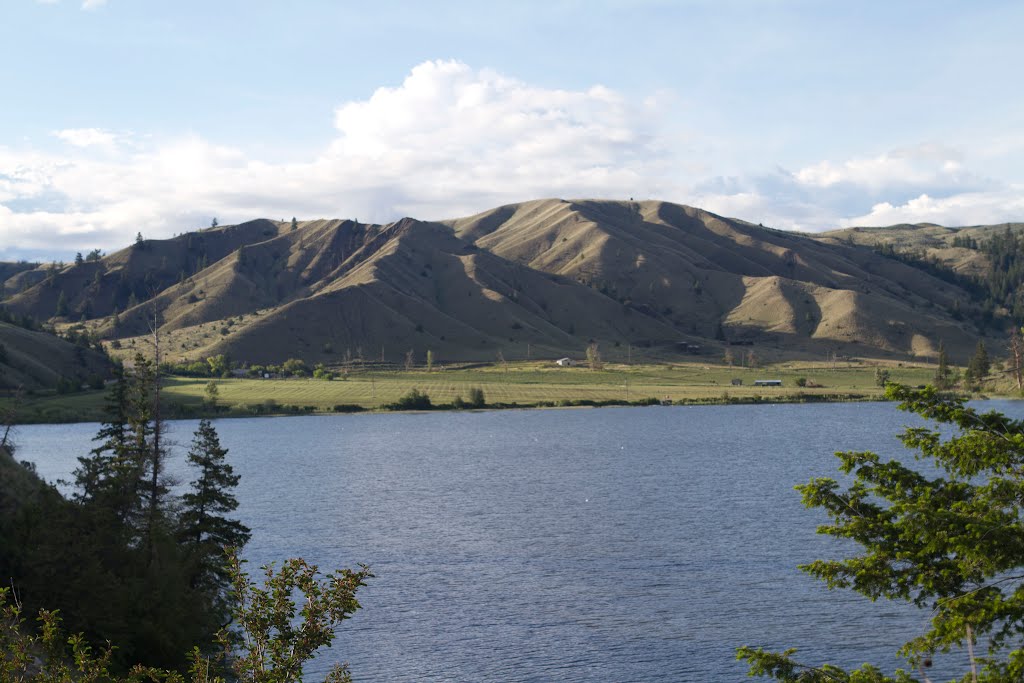
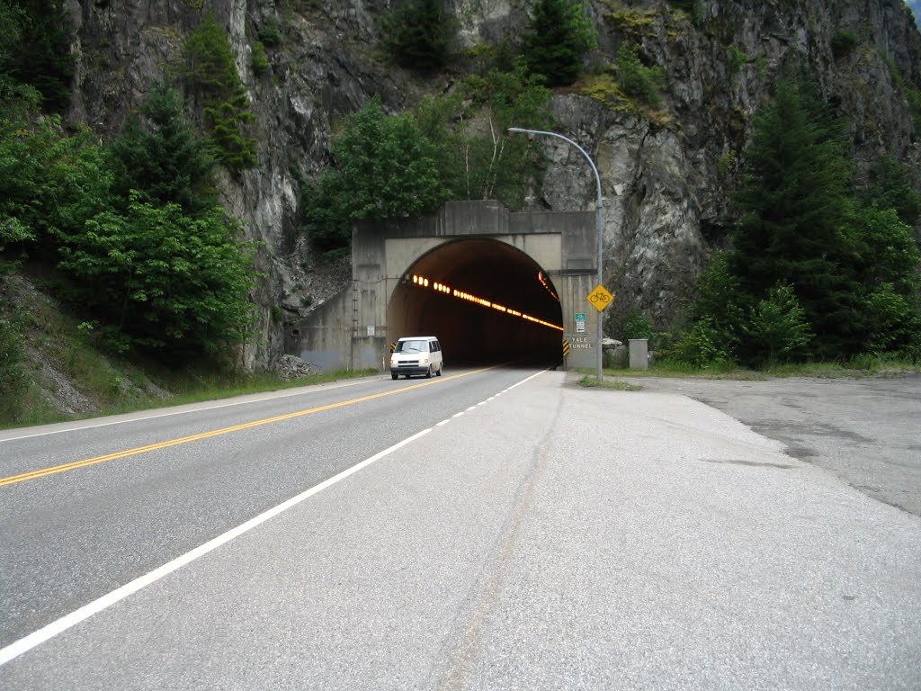
       This is where it gets good. You may ask how is this even possible? We turned north on to highway 1 and the Fraser canyon. On this next section of highway there is 7 tunnels. The shortest being 57 metres and the longest being 610 metres.   As we approached the first tunnel I let off the throttle and shifted down. As looked in the mirror I could see my friend Ed doing the same thing. The sounds of my exhausted resonating off the cement walls of the tunnel had me in my happy place as I shifted through my gears. 
        
         It was almost fitting that the longest tunnel the China bar tunnel was the last as I went from 3rd gear to 6th gear in the 610 meter sweeping curve tunnel. After riding to Spences bridge we took highway 8 east back towards Merrit. Not knowing much about this highway it was a great surprise to have the highway almost to ourselves riding through a terrain of constant turns and vibrant farming communities. 


       Arriving in Merrit for the second time today we climbed 97c this time riding past the 5A turn and continuing up the summit towards Kelowna. This 4 lane section of highway has an 120km/hr speed limit which made for great time over the top. 
      Last night decision were made. With the out look of heavy rain on our original planned path of travel we decided we would stay in the sunshine for another day and head south to Cranbrook, British Columbia. After checking out of our hotel we took a quick spin around Kelowna before checking in to Gasoline Alley Kelowna Harley Davidson for a poker chip and a t-shirt.

         Beside the Harley shop we saw a place called Konquer motorcycles. Dealing in parts and accessories for all types of motorcycles as well as their own shop and paint and body customization.   What a great place, as soon as myself and Ed stepped in the door our eyes were drawn to so many different signs on the wall. Now we are thinking we might have to come back with a truck in the near future. We were approached by a nice sales woman offering us coffee which we gladly accepted. Information that is good to know..... www.Konquer.ca will ship for free any order over $50 whether it is in person or online. Well didn't this just say to me start looking closer at those signs Dave. I found 8 signs that I have not seen before and had them arranged to be shipped home.
     
       After our slight delay this morning we set out on our ride north stopping for breakfast just outside of Winfield, British Columbia at a place called Turtle bay pub. I have eaten here once before when I was in college and the views of the lake and Marina was just as I remembered. Continuing our ride north on highway 97 we passed an impressive lake called Kalmalka lake giving us incredible views of its forever changing colours of water. 
     

       Upon arriving in Vernon we linked on to highway 6 heading east towards Lumby. This highway was just what we needed today, tight uphill right turns followed by an immediate drop hard bank left turns which had our hearts in our throats and our hands gripping our handlebars commanding our bikes through the various climbs and plummets towards the Needles to Fauquier cable ferry. By the time we arrived at the Ferry crossing. I had lost count on how many times my floorboards had touched pavement. 
     

          Rolling off the ferry we followed the Columbia river on highway 6 to Nakusp. Turning our attention south we followed highway 6 to New Denver for fuel before continuing our ride around Slocan lake. Taking a right at Playmor Junction we hooked on to highway 3a and came across an impressive hydro dam just outside of Castlegar, British Columbia. We finally made the turn on to the Crows Nest Pass heading east giving our wrists some much needed cruise control time taking in the views of the forest covered mountain ranges as we climbed summits and dropped over to the warm valleys on the other side.  
        
           Taking the advice from a fellow biker at work we booked in to a place called the Lazy Bear Lodge in Cranbrook, British Columbia. A great biker friendly hotel with clean rooms, cheap prices and a free beer upon check in. 
           We left Cranbrook at 7:30 am to fears of the oncoming fall storm. We managed to stay in front of it for the most part riding the 93 highway to Radium Hot Springs. After a stop for fuel and breakfast we continued our journey to the entrance of the Kootenay National park. Almost as if a De ja vu moment from my ride 3 weeks before as soon as we rode through the tunnel the sky opened up and unleashed a good session of rain upon us. The low covered clouds made it impossible to see our surroundings for the most part but when the clouds lifted you could see fresh snow covered mountains a mere 300 metered a above us. 
     

           As we said goodbye to British Columbia for the last time, we  entered Banff National Park and the weather was toying with us presenting blue skies over head. We followed the transcanada west before heading north on the Icefields Parkway. The temperature plummeted to 3 degrees are we climbed the summit of a few glaciers. Could this be right? Is that snow? Snow covered ditches and pine trees quickly engulfed our horizon. Descending the other side the snow stopped and the rain continued until Saskatchewan crossing for our next fuel stop. 


    The northern route looked bad so we took the David Thompson Highway 11 east towards Nordegg and Rocky Mountain House. At first I thought we made the wrong choice as hail struck us in our faces. Once we hit Abraham Lake the striking blue waters were a welcome sight, not to mention the blue skies surrounding it. The weather would soon return to our familiar rain with wind gushes of 60km/hr pushing us around on the highway. 
          
       After one last fuel and coffee delay in Rocky Mountain we rode Highway 22 North towards Seba beach for dinner. Linking on to the Yellowhead Highway 16 heading east I said good bye to my friend at Wabamun lake and continued the last 108km of the ride solo up highway 44 and back home to Pickardville for a total of 2,885km
          

Read the ride
2017-11-30T16:21:00-08:00

Arizona, New Mexico Ride

0 comments
Arizona, New Mexico Ride


         I left Eagle Rider motorcycle rentals at 9:15 am and made my way in the the 202 East Freeway.  The last time I was on this freeway I got stuck in road construction at 30 degrees Celsius.  This time I had open roads and made great timing on the ring road.   Finally I found my exit of East Brown road and headed straight for superstition mountain.  After a small rest stop to take in the view I headed up the historic route  88, the Apache trail.


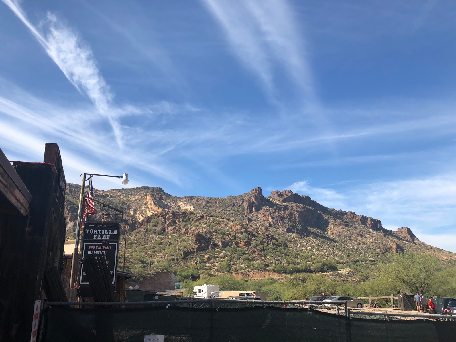
               This highway has seen better days I’m afraid.  The road was a pattern of 20 mile an hour curves which had me up on the handle bars riding to the conditions of the pavement.   A series of dips and dives brought me to the one way lane bridges of Canyon lake, where I took in the impressive views of a clear lake and jagged Rocky Mountains.   I arrived at Tortilla flats and bought some sunscreen before back tracking back down the Apache trail towards Apache junction.  


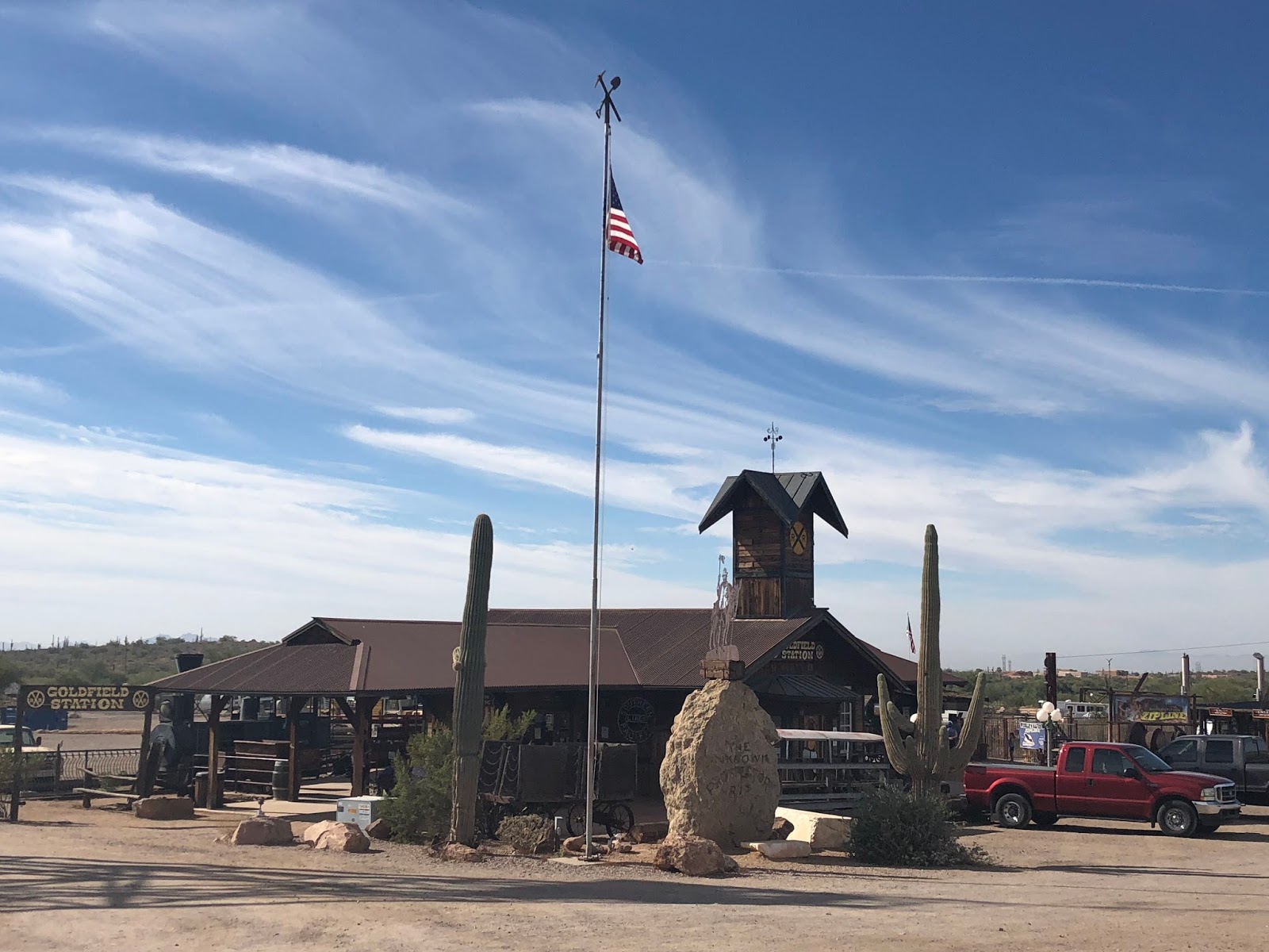
            On my return ride down the Apache Trail I stopped in at Goldfield.  A ghost town rich with history with its boom in the 1890's


             Following Tomahawk Rd I headed south to link on to route 60.  The freeway eventually turned in to a two lane highway where it punched through the Mountains via a tunnel near oak flats.   It is tunnels like this I wish I had the sounds of my Road king instead of the rental.    Just out side of Globe my travels took me north on route 188 towards Roosevelt. 


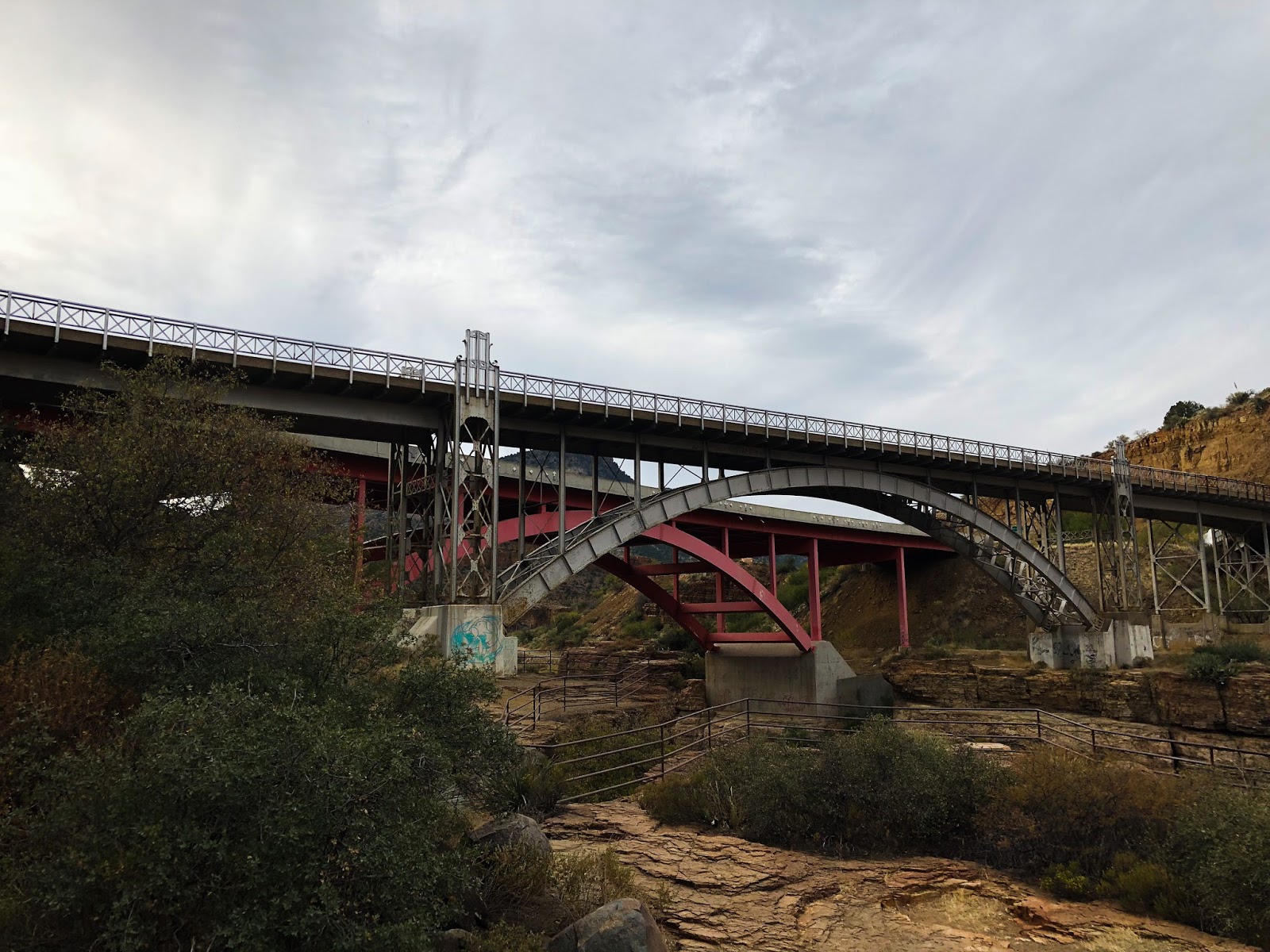
         This highway was just what I needed. The highway took off climbing 2000ft in a short distance for a quick cool down before plummeting down the other side towards Theodore Roosevelt Lake.   Following the lake I came across a cool bride at the Apache trail junction.  Also at this junction was Roosevelt Dam. A dam built between 1906 and 1911 on the salt River. 


                  I back tracked to Globe, hooking up with route 60 and headed North East.  The elevation changes made the cactus disappear bringing large shrubs in its place.  I climbed the the long sweeping curves to high elevations over looking salt river canyon.  Now this canyon awoken me,  the switch back corners had me working my bike down the mountain side taking in impressive views of the jagged landscape below.  


      At the bottom of the canyon there is a rest stop where I took advantage of a break before making my assault on the climb up the other side.  Once I plateaued on the other side of the canyon the shrubs disappeared bringing forth tall pines which would line my path going forward.  


       I arrived in Show low Arizona  at 4:00 pm and contemplated getting a room.  Springerville was  85km farther down the road and I decided to push on before it got dark.  I took the southern route 260 through  Pine top a neat town lined with cabins.   I almost had this highway to myself as I passed few cars.   I arrived in Springerville Arizona  just as it got dark checking in to Reed’s lodge, a biker friendly lodge. 

        I left Springerville to a 3 degrees Celsius sunrise. I turned on to route 191 the Coronado Trail scenic byway.  Formally known as route 666 the devils highway. I am told the Federal highway commission considers this to be the curviest road in the nation.    It was chilly starting off in the shade as I made my through the swifting curves below the  foothills of the white mountains.  I made my way with the the traffic to Alpine Arizona where the highway branches off to the south west towards the pine trees.   


           The highway at 9,200 feet started to wind through the forest as it worked its way out to the plateaus where I would find peace and solitude for the next 3 hours.    The elevation rose and fell of 800 feet as I carved through the corners of shade then light.  I came across a view point called blue vista overlook.  This advantage point really gave me an appreciation of the valley I was about to ride.


        After Taking in the sights I got back on the bike and started my descent.   The road tightend up to a series of 25 mile per hour twisties as I chose my lines and dropped some gears.   The more the curves came at me the bigger m my smile became.  

    I would not recommend this highway to someone who is less experienced with their turns.  You have to really know our machine as the highway is unforgiven with narrow shoulders, no guard rails and steep embankments.   And to add to this excitement is the wildlife.  I met 5 deer on various blind corners as well as I seen two Javelina’s an Arizona Wild Pig like creature.  


      Just when I thought the highway could not get any better I came across a sign that said no vehicles over 40 feet in length beyond this point.   The 25 mile per hour corner signs switched to just maintain 25 miles per hour for the next 6 miles.   A roller coaster of switch back cures had my heart in my throat as my bike commanded great respect as I worked the gears and throttle.  

    As I approached a section of 10miles per hour I knew this was the section I was waiting for.  I turned my music up of a fitting song called hot rod Lincoln by commander Cody as I dove in to the corners.  My shifts went from second to first repeatedly over this stretch rarely achieving third.  Next song ,  Whoa, Black Betty Bam-ba-lam.  I kept throwing my 950 lb machine though the curves recovering my lines just to lean back in to another one.  


           I exited the curves for a straight strech across a meadow on one of the plateaus.  This gave me an opportunity to put the bike in cruise control for the next two miles and stretch out.  At the far end of the field the highway started is next series of drop in elevations as the highway turned in to more or the jagged rocky terrain I am accustomed to in Arizona.   I came across one view point where you can see the next 8 miles of switch backs ahead of you, very impressive sights. 


         Upon reaching the bottom the highway split a huge copper mine in Morenci.  I am told they move similar amount of material as the mine I work for.   I followed the highway to Clifton Arizona for fuel. 


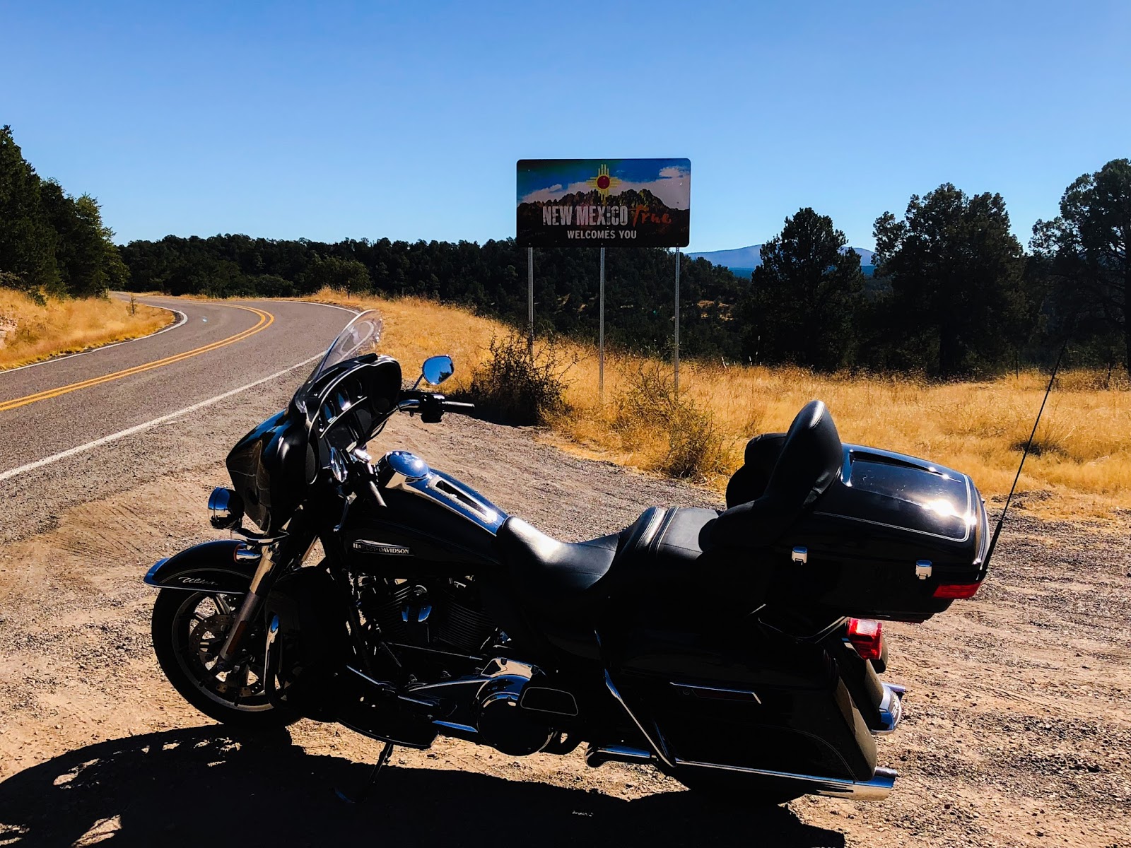
         Upon Reaching Three way Arizona I took the 78 highway back in to the mountains and across the great divide in to New Mexico.  I hooked on to the 180 and made my way to Silver City New Mexico.  This highway was what I expected with rolling hills of meadow ranges.  One neat point was experience the yellow fall leaves over again.  


           I took highway 90 leaving Silver City past Tyrone mines where the dispatch system was created.   Following 90 I hooked up to the I 10 interstate to make some time up heading towards Tombstone.  I got off the freeway at Benson and took the highway 80 south.   I made it to Tombstone just before the shops were about to close and took in the sights.   A good friend  rode out to meet me there from Tucson.  


          We left Tombstone and rode north on and and then west on 82 on a sunset ride where we arrived in Sonoita and had dinner at a great place called the Steak out.  The food was amazing cooked over an open flame.    After a great dinner filled with conversation of rides past and catching up we rode north on 83 to a outskirt community of Tucson called Vail where my friend and his wife put me up for the night. 

      In the morning we went on a tour modular mining systems.   I met some great people that gave me some new perspectives on things.    After the tour we rode out the Ajo highway east.  My first impression is wow there is a lot of border patrol on this highway.   Very impressive.  

     We rode out to Kitt peak. A 4000 feet winding climb up the Mountain side to a summit filled with observatories and telescopes.  They even had one that was buried in the mountain used to look at the sun.   I am told there is many countries that have their own telescopes on the mountain side. 


           After taking in the views we rode back down the mountain side hitting the corners one more time.   The ears were popping with the quick descent back down to Ajo highway.   We followed the highway back west to the   South Kinney road which turned in to gates pass road, a cactus filled park ride with the old Tucson movie studio at the one corner of it.  If you ever have time and enjoy western movies, many classics were filmed here.  

       Exiting gates pass road we made our way on speedway blvd where we stopped at the intersection of the I 10 before parting ways.    I made my way north east on the 77. At first I doubted my decisions. Red light after red light I saw my eta slip farther and farther behind.   Once I got past Catalina the highway opened up and the traffic flowed freely.  

         I turned north on the 79 and made way through the desert to Florence.  A prison community that they say has roughly 9,500 people incarcerated there. Massive is an understatement.  If the series of prison yards does  not get your attention maybe it’s the home land security compound just to the north of it.  

          Linking back on to highway 60 I followed the freeway west to Phoenix and returned the bike rental to Eagle rider.    The staff was excellent and even gave me a shuttle back to the hotel I booked.   The most interesting part of my conversation with them is that my eagle rider membership which already had great benefits is about to become a whole lot better.  They signed a deal with Harley Davidson to take over their rental program.  I already knew this but what I did not  know by the end of next year my ride credits that I accumulate ever month with my fees will go from 20 locations to over 200.   If you want to know more pm me and I can get you a referral code.  I see many more amazing rides in my future.


Read the ride

Full Tank, Open Roads

Sometimes it takes a whole tankful of fuel before you can think straight. With that being said, life is an adventure who is coming with me?

Search This Blog

Powered by Blogger.

Motorcycle Enthusiast. Highway Wanderer

Fraser River Canyon

Fraser River Canyon Google Map Overview                                   I left Pickardville at 6:35 am to a golden...